September 2025
Outcomes of the European Researchers’ Night 2025
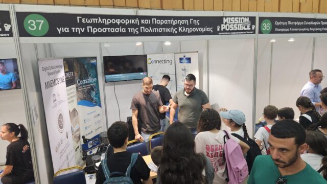
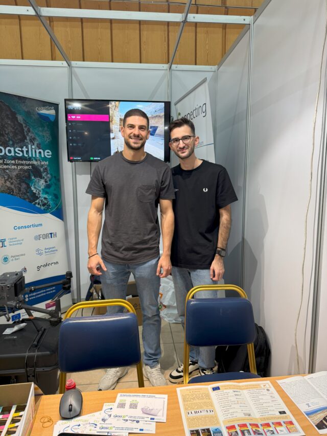
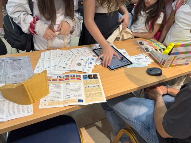
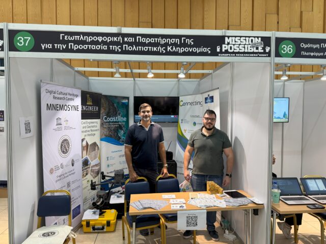
The Engineer Project’s participation in the European Researchers’ Night 2025 was highly successful. Throughout the day, the booth attracted significant interest from students, educators, professionals, and members of the general public. Visitors engaged with the project team and learned more about the project’s aims, ongoing research activities, and potential impact. Participation in this European-wide event created opportunities to: Enhance the dissemination and communication of project activities and results. Raise visibility of the Engineer Project at both national and European levels. Foster...
Participation in the European Researchers’ Night 2025
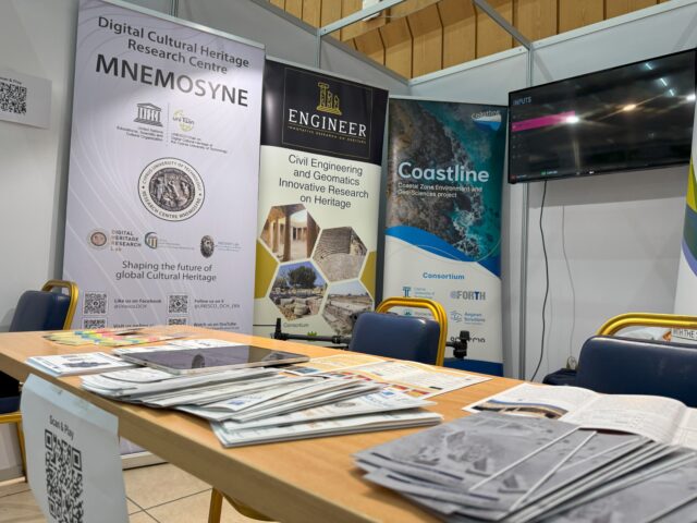
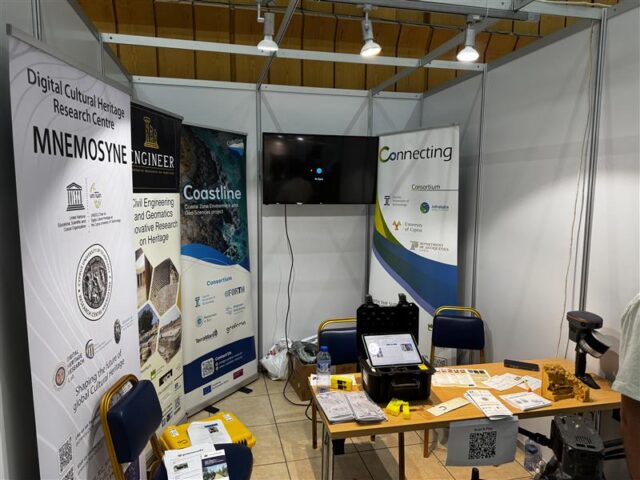
The Engineer Project participated in the European Researchers’ Night 2025, held on 26 September 2025 at the State Fair in Nicosia. The event took place from 08:30 a.m. to 10:00 p.m. and aimed to promote science, research, and innovation to the wider public. The Engineer Project was present at Hall B, Booth #37, where the team welcomed visitors and provided information on the project’s objectives, activities, and expected outcomes. This presence created an important opportunity to present the project to a...
Top 2% Scientists Worldwide 2024 by Stanford University
Prof. Phaedon Kyriakidis and Asst. Prof. Athos Agapiou have been included in the latest Stanford University report, which lists the top 2% of the most highly cited scientists globally. This ranking reflects their contributions to research and the impact of their work within their respective fields. Stanford University recently updated its comprehensive database, which identifies the top 2% of the most-cited scientists across various disciplines. The report was compiled by a team of experts led by Prof. John Ioannidis, a renowned...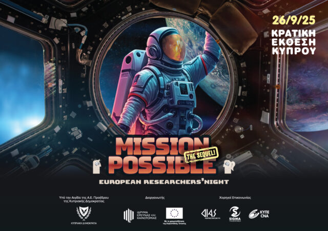
ENGINEER project to the Research Night
The ENGINEER project is excited to announce its participation in the upcoming European Researchers’ Night 2025! 🎉 For the 19th consecutive year, the Research and Innovation Foundation (ΙδΕΚ) brings this major science communication event to the public, offering a unique opportunity to meet researchers and explore the fascinating world of research, innovation, and technology. 📅 Date: 26 September 2025 🕗 Time: 08:30 a.m. – 10:00 p.m. 📍 Venue: State Fair, Ni`cosia Throughout the day, hundreds of researchers and scientists from across Cyprus will showcase experiments,...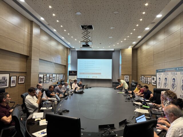
ENGINEER Final Event (Day 2)
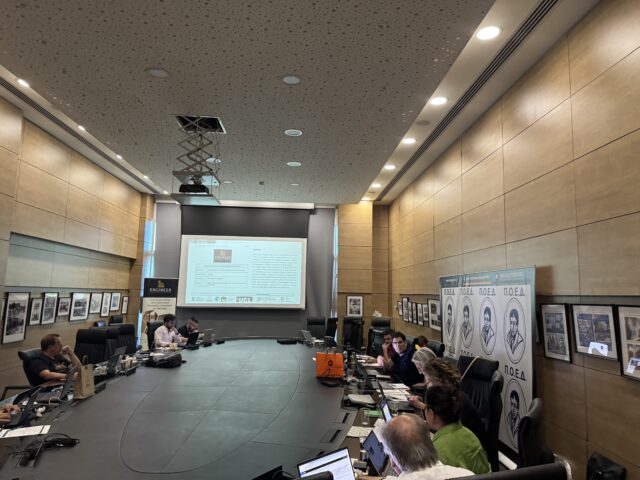
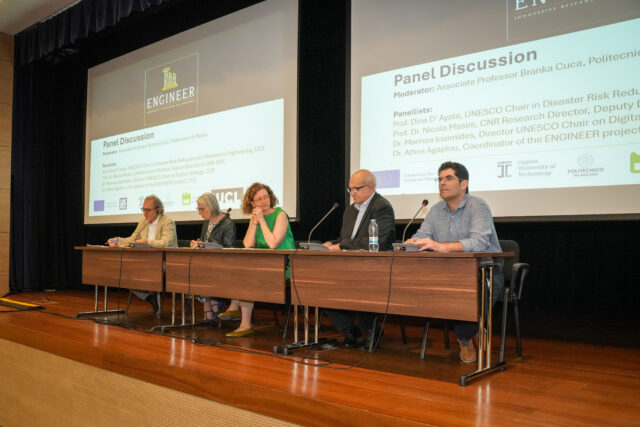
The second day of the ENGINEER Final Event, held on Friday, 12th of September 2025, at POED in Nicosia, focused on reflection, evaluation, and the consolidation of project outcomes. The day began with an introduction by Dr. Athos Agapiou, Coordinator of the ENGINEER project, followed by a collective discussion on the outcomes of the previous day’s sessions. Partners then engaged in structured reflections on each Work Package (WP). POLIMI led the review of WP1 (Knowledge and Research Gap), while the University...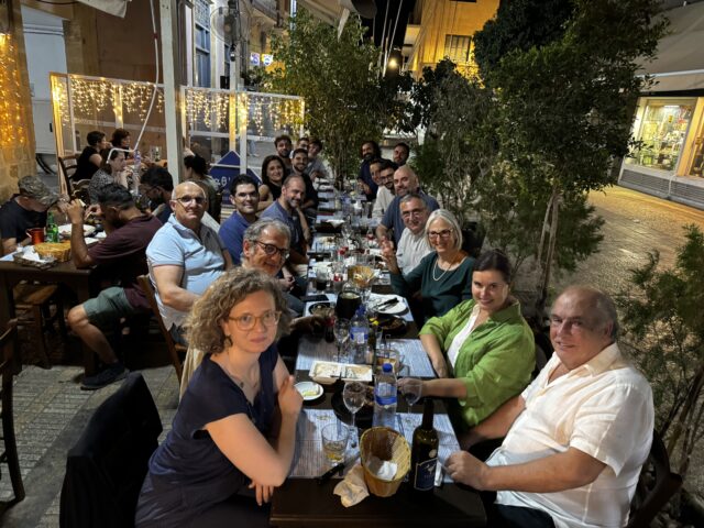
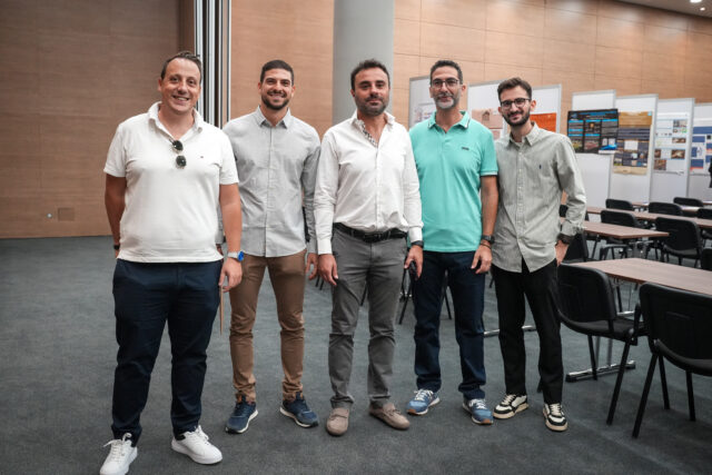
ENGINEER Final Event Social Dinner
The day concluded with a social dinner, providing participants with the opportunity to network in a more informal setting. Researchers, cultural heritage professionals, and representatives from partner institutions came together to exchange ideas, reflect on the day’s discussions, and explore possibilities for future collaborations. The dinner not only celebrated the successful conclusion of the ENGINEER project but also strengthened the bonds between partners, fostering a spirit of cooperation that extends beyond the project’s official timeline.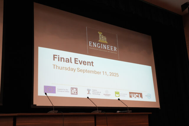
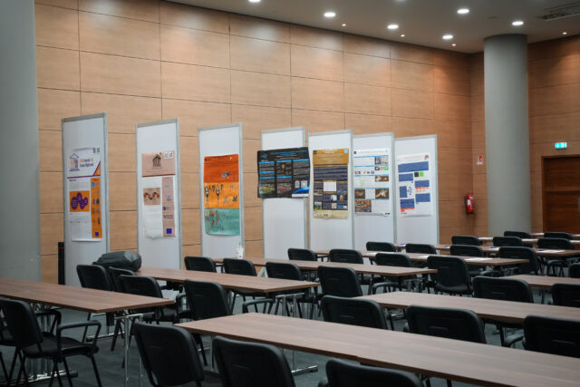
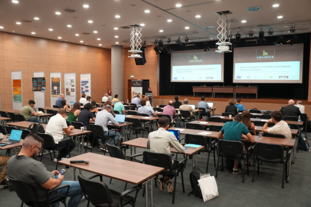
ENGINEER Project Final Event (Day 1)
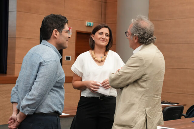
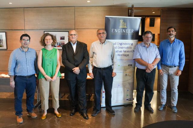
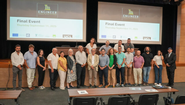
The ENGINEER Final Event marked the successful conclusion of the project, hosted by the Cyprus University of Technology (CUT) at POED, Nicosia. The event gathered leading voices from across the cultural heritage and research sectors, with interventions from distinguished representatives of national and international institutions. Ms. Demetra Aristotelous, Archaeological Officer of the Department of Antiquities, offered welcome addresses both on behalf of the Department and the Deputy Ministry of Culture, highlighting the significance of cultural heritage preservation in Cyprus. Ms....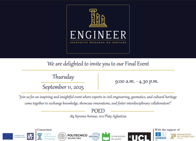
Final Conference of the ENGINEER Project
The Final Conference of the ENGINEER Project will take place on Thursday, 11 September 2025 (09:00–16:30) at the POED Event Hall in Nicosia. The event will bring together experts in civil engineering, geomatics, and cultural heritage to share knowledge, showcase innovations, and strengthen interdisciplinary collaboration.