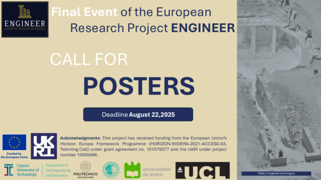
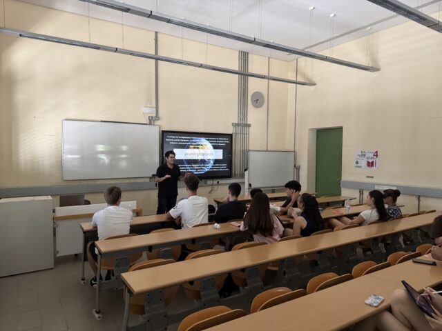
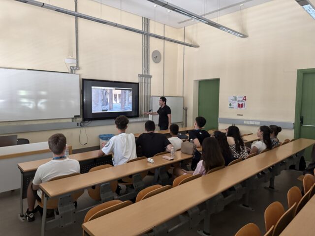
engineer-twinning2025-07-02T12:54:28+03:00We invite students and early-career researchers in the fields of civil engineering, geomatics, architecture, and cultural heritage conservation to participate in the Final Event of the European Research Project ENGINEER, which will take place on Thursday, 11 September 2025, from 09:00 to 16:30, at the POED Conference Hall (184 Kyrenias Avenue, 2112 Platy Aglantzia, Nicosia).
📍
Location on Google Maps
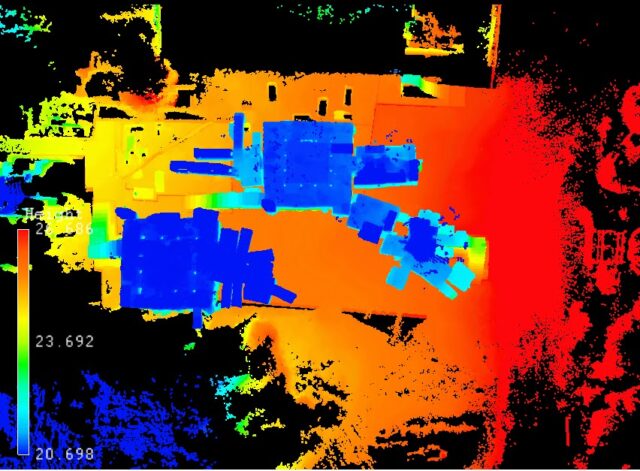
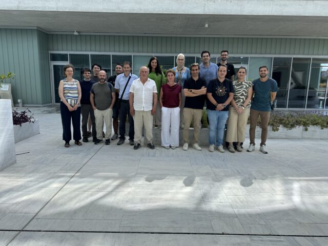
The event will showcase the key outcomes of the ENGINEER project, coordinated by the Cyprus University of Technology, which fosters interdisciplinary collaboration and innovation in the fields...